
Search Marysville Streets Step by Step
An address search in Marysville works best as a property trail. Union County's GIS instructions say to choose a parcel-search method, enter a short starting term, select the matching result, and open its Appraisal Info. A result row identifies the parcel number and owner name, while the selected report provides fuller parcel information and history. Treat that owner as an owner of record, not as a claim about every household member. The address layer is assigned by the Engineer's Office, so it is a useful first check when a house number, spelling, or street form needs confirmation.
- Open the county GIS parcel search with the street address. Start with a house number if a longer search does not return the right parcel.
- Select the correct result, save the parcel number and owner name, and open Appraisal Info for the selected property record.
- Keep the lot, addition or subdivision, section or survey, and other legal-location details shown by the parcel, plat, or deed material.
- Search the recorded owner as a grantee in the Recorder's index. The cited seller, or grantor, becomes the next name to check as a prior buyer.
- When the online trail reaches an older period, use the historical name indexes or contact the Recorder and Archives about original volumes and available copies.
Do not use the Union County voter form to build a street list. Its captured public screen requires a first and last name, not an address or street-browse search. A name result can be a limited confirmation signal, but protected records and redacted fields remain outside the public result. Note: Save the source, search date, parcel number, and legal description with each Marysville street-directory result.
Marysville Street Parcel Search
The County's property-search tools gateway leads to Beacon, the public property route for parcel, appraisal, tax, map, sales, comparable, and report information. Its official help describes Property Search as the starting screen, with Parcel ID opening the selected record in a Report view. Sales Search and Comp Search are separate advanced modes, and the county also makes monthly sales and transfer lists available for the past three years. Exact live input labels were not exposed in the county material, so a careful Marysville street directory search should not assume that a particular owner, mailing, or ZIP field exists until it is visible in the live record.
The official property-search tools gateway shown below is the right place to begin the county's described parcel and report path.
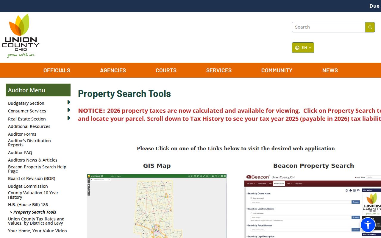
The screenshot supports a parcel-first approach: select the matching property record, then preserve the identifying details instead of treating a broad street result as a roster.
| County control | Kind | What the county confirms | Use in an address search |
|---|---|---|---|
| Property Search | Basic portal mode | Starting screen for a parcel or set of parcels | Begin a Marysville street directory search |
| Sales Search | Advanced search mode | Multiple sales and parcel criteria with Sales Results | Check a qualified sale record |
| Comp Search | Advanced comparison mode | Multiple property criteria with Comp Results | Compare property context |
| Parcel ID | Result link | Opens the selected parcel in Report | Reach property details |
| Monthly Sales List | Browse mode | Past three years, exportable with selected fields | Locate a recent transfer list |
Beacon distinguishes a parcel record from a person record. It helps connect an address to real-estate context, but it does not establish who currently occupies a home. That distinction keeps a street-by-street search tied to what the county actually publishes.
Marysville Street GIS Layers
Union County's GIS mapping page and Auditor FAQ describe the parcel-search window as the principal map tool. Select a method from its dropdown, try less text first, then narrow a result if needed. The county specifically suggests a house number, last name, or part of a title and warns that results can span pages. Selecting a row zooms the map and exposes the parcel number, owner name, and Appraisal Info link. That workflow is more reliable than scrolling a map and guessing which parcel belongs to a number.
The County's GIS mapping screen is pictured here from the official source.
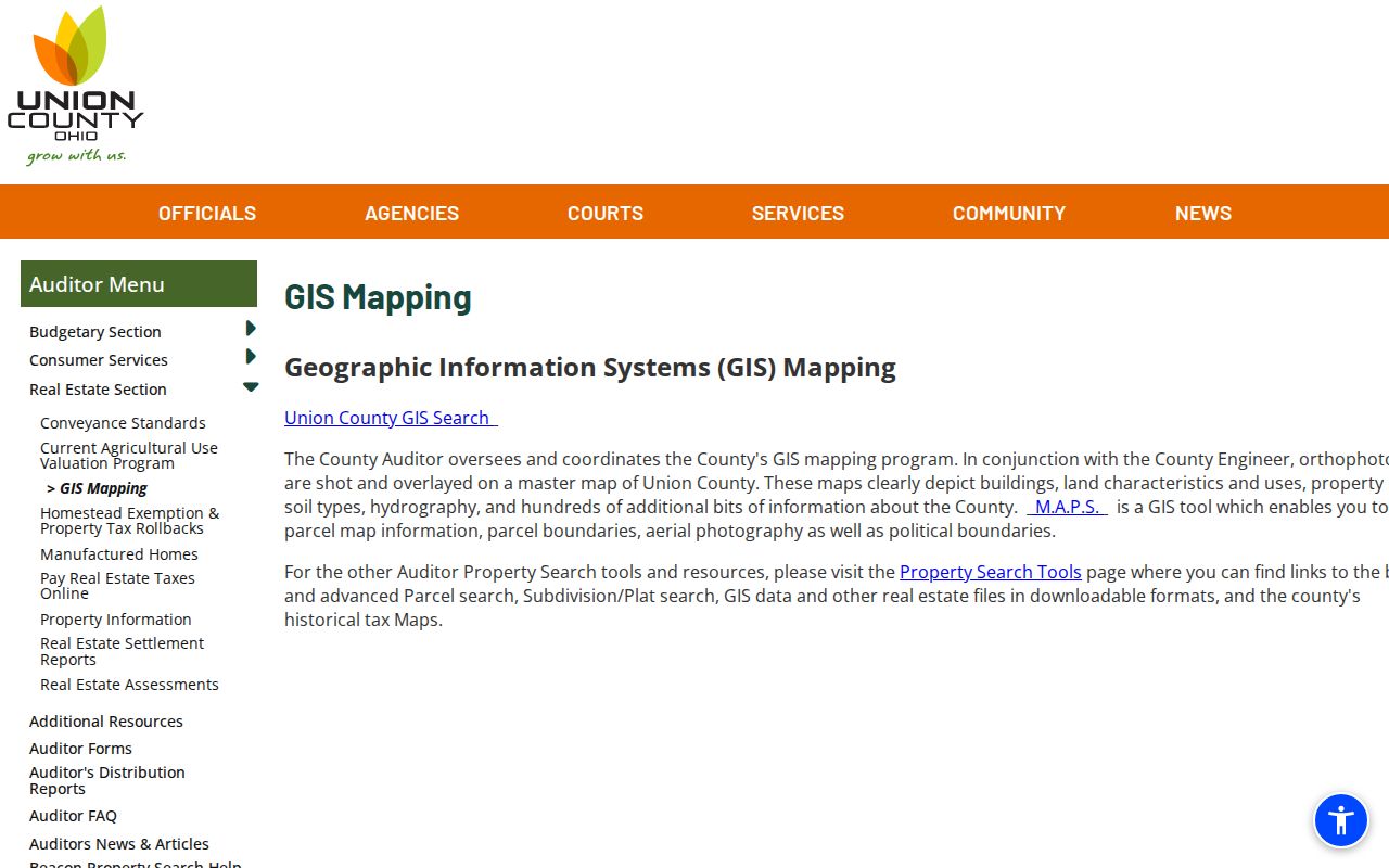
Use the map as a geographic reference, then verify ownership and legal details in the selected parcel and Recorder records.
The Address Layer identifies the address assigned by the Engineer's Office. Dwelling Info adds parcel number, building grade, year built, building condition, and Auditor total market value. Sale Info displays a last sale date and amount only for qualifying sales after 1995. It leaves out exempt or non-arms-length transfers, including sheriff deeds, gifts, and transfers to a trust or LLC. Aerial choices and the transparency tool can compare selected image years, while floodplain, topography, school-district, and measurement layers add physical context. None of those layers names a household.
Note: A short GIS query can return several pages, so use the parcel number rather than a map pin as the Marysville street-directory anchor.
Marysville Address Records Coverage
Several Union County records can be keyed back to a Marysville address, but each answers a different question. The parcel and map tools establish land and physical context. Recorder records identify parties to recorded instruments and the legal description that ties a property across time. Plats, tax maps, and surveys help when a street label alone fails. Permits and city records can document a specific existing project or action. The table keeps the access channels separate, including the counter or request route when a broad public search was not found.
| Address record | Custodian | Marysville street detail | Access route |
|---|---|---|---|
| Beacon parcel record | Union County Auditor | Parcel, appraisal, tax, report, sales and comparable context | County gateway |
| GIS parcel and layers | Auditor and Engineer | Address, owner row, acreage, aerial and dwelling context | GIS instructions |
| Recorded deeds and indexes | Union County Recorder | Parties, volume or page, and legal-location terms | Online index and office |
| Plats, tax maps, surveys | Engineer and Recorder | Lots, additions, streets, surveys, and subdivision context | Property and survey resources |
| Existing permit or city file | County Building Department or City records | Documented construction, connection, right-of-way, or zoning record | Specific request to the originating custodian |
The order matters. Start with an address and parcel, retain the legal description, and only then trace recorded parties. The Recorder's index is party-based, so an address begins the research but is not necessarily the searchable deed field. For a past household instead of a current street question, the digitized collection is treated in more depth on the Marysville city directory page.
Marysville Street Legal Description Keys
A Marysville street directory becomes much stronger when it carries the legal description alongside the street address. Recorder historical deed entries identify grantor and grantee, deed-book volume and page, and location terms such as town or township, section or survey, lot, and addition or subdivision. Plat records can identify the original deed holder, original-property description, surveyor, approving authorities, streets, alleys, lot subdivisions, and annexations. Those terms provide a stable bridge when a street is renamed, vacated, annexed, or represented differently in an older record.
Union County's property and survey resources provide the official route to tax maps, atlases and plat maps, surveys, Virginia Military Surveys, subdivision plats, school-district maps, and railroad maps.
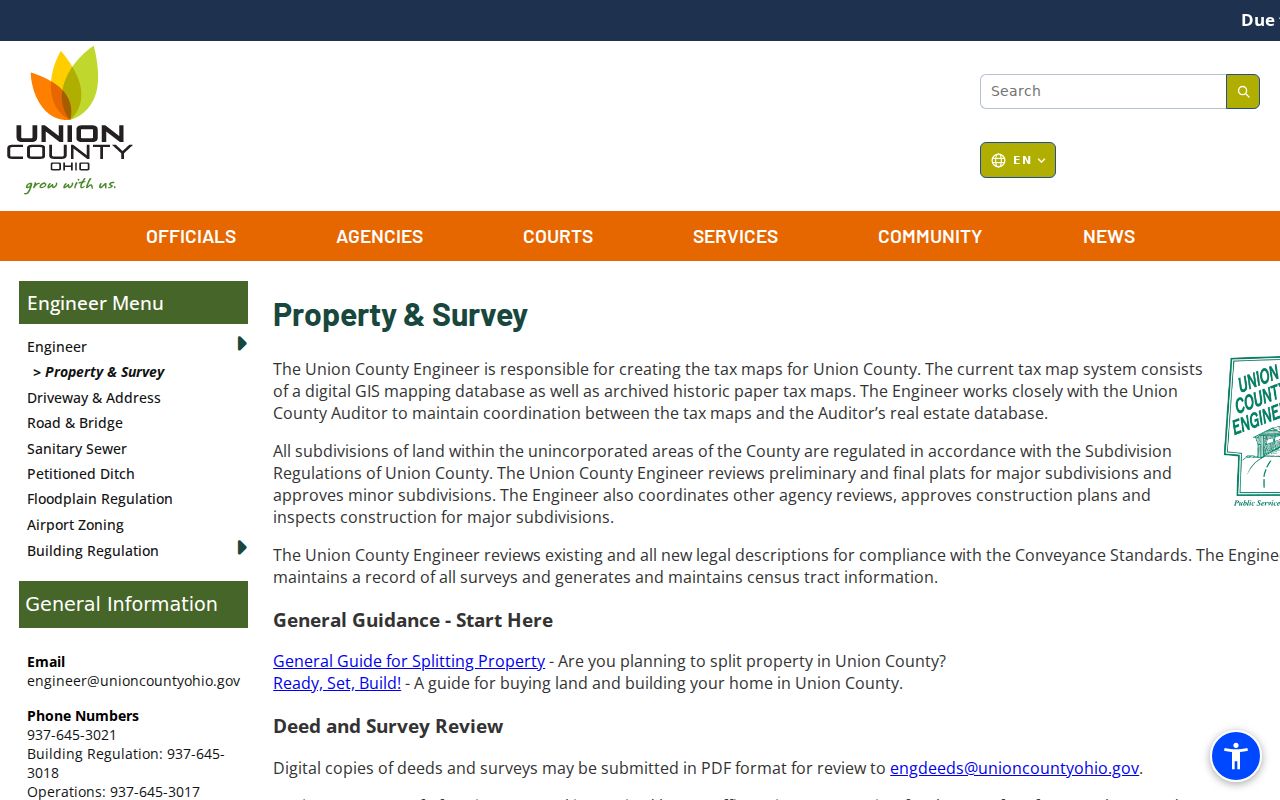
These land-record tools supply the map and plat context needed to compare an old address with the modern parcel.
- Parcel
- A county-defined unit of land used to organize a property record and map result.
- Situs address
- The physical property location assigned by the Engineer's address layer. It is separate from any correspondence address that may appear on a live record.
- Plat
- A recorded map that lays out lots, streets, alleys, additions, surveys, or subdivision details.
- Criss-cross directory
- An address-arranged directory, if a particular historic volume is confirmed to have that format. The Marysville collection's exact runs require inspection.
Marysville Street Deed Chains
The Recorder's official records page is the next stop after a parcel supplies a recorded owner and legal location. Search the current owner as a grantee to find an acquisition instrument. Record the book or page and the seller, then search that seller as a grantee to locate an earlier acquisition. Compare section, survey, lot, addition, subdivision, and volume or page whenever a name repeats. This preserves a chain of title, meaning the sequence of recorded transfers, without treating a name match as proof.
Online images and indexes cover 1995 to the present. The Recorder also added online deed grantor and grantee indexes for 1875 through 1994, a mortgage grantor index for 1944 through 1994, and miscellaneous grantor and grantee indexes for 1960 through 1994. The office and Archives describe deed records and deed indexes from 1800. For a pre-1875 question or an image not online, contact the Recorder about original volumes rather than assuming the browser holds the document.
The Recorder's free AlertMe service can send email when a document containing a registered referenced name is recorded. Its data update daily and may change without notice, so it is an early notice, not a title examination or proof of fraud. If a notice is unexpected, compare it with the official index and ask the Recorder how to obtain or verify the cited instrument.
Marysville Street Continuity Checks
When an older Marysville street address does not match the current map, do not invent a citywide renumbering or a particular street-change year. The research located no verified citywide renumbering event. Instead, compare the lot, addition, subdivision, survey, and plat with City Code tables for change of street name, annexation of territory, vacated streets or alleys, dedication and plat approval, and zoning-map actions. A parcel can have a Marysville mailing form while a municipality, township, or legal-description question points elsewhere.
The City's GIS and open-data page supplies municipal reference geography, including streets and addresses, while the county map supplies the parcel and appraisal link.
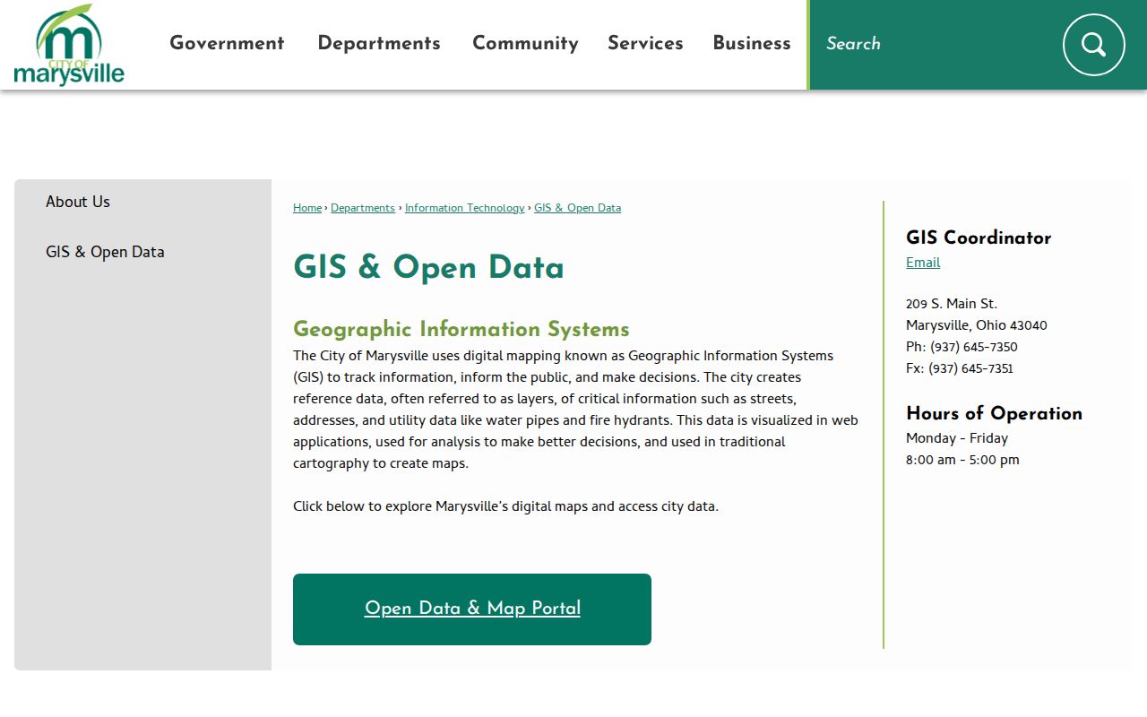
Use the city map to orient an address, then use county parcel, plat, and Recorder material to verify the land-record trail.
Historic road work has another local route. The 2025 Archives report says Engineer Record Records from 1806 through 1901 were indexed and correlated with current roads in 609 entries. Ask the Archives which series or period is indexed or imaged for a difficult old-road question rather than presuming a modern map uses the original name.
Marysville Street Permit Trails
An existing permit can add a date or a public-work detail to an address history, but no citywide public permit search was located. The county Building Department is the route for a specific county record, at building@unioncountyohio.gov or 937-645-3018. The 2024 Archives report says the county indexed 1,393 residential and 422 commercial permits from 2020. City Engineering identifies connection, right-of-way, zoning, flood-hazard, sidewalk, and infrastructure permits, so a request should name the address, record type, and approximate time period.
The City's engineering resources page is a useful official starting point for the kind of permit or application involved.
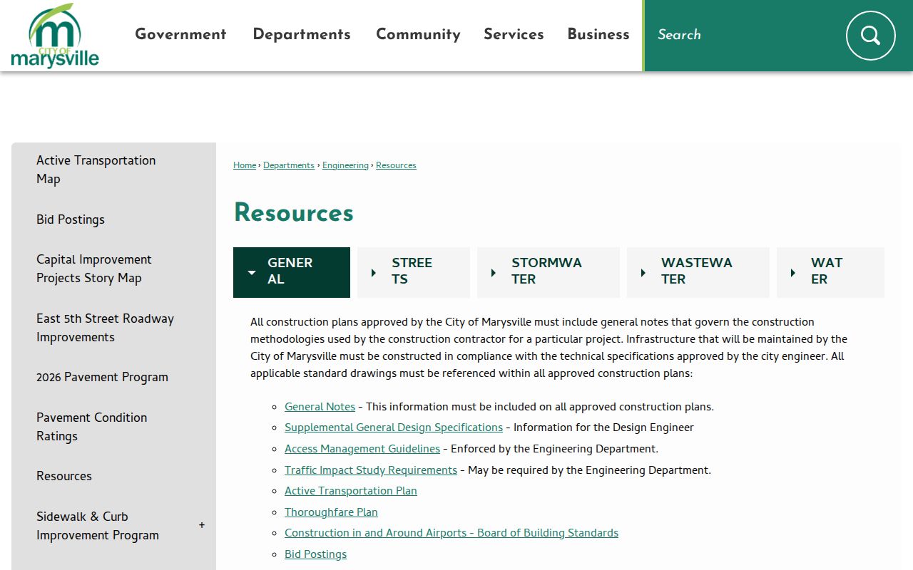
The source image reinforces the narrow request method: seek a particular existing document from the office that originated it.
Ohio's Public Records Act, ORC 149.43, gives any person a right to prompt inspection and copies at cost within a reasonable period, subject to applicable exceptions. A focused request for an existing permit, plan, ordinance, or certificate is more workable than asking an office to create a street-by-street personal list.
Marysville Street Search Limits
A recorded parcel owner is not a directory of every person who lives at, visits, or receives mail at a Marysville address. The official voter lookup is name-based and has protected fields and records. Ohio motor-vehicle information is confidential under ORC 4501.27, and no public utility-customer list was located in the official sources. Safe at Home participants may use a substitute address for voter and government records, while covered personal information may also be redacted from internet records under ORC 149.45.
Lawful use. Use Marysville address records for personal, lawful research and property questions. Do not use them to stalk, threaten, harass, impersonate, or harm anyone; Ohio law prohibits that conduct.
For a suspicious deed-copy solicitation, compare the claim with the official Recorder index or contact the Recorder before paying a third party. Ohio's Attorney General warns that such mail can look official without being associated with government. The Recorder's index, office, and AlertMe notice path are better verification channels than pressure from an unsolicited notice. Note: A missing public record may reflect a protected, sealed, redacted, or nondigitized record, not a conclusion about a person.