
See Marysville Neighbors by Parcel
Marysville neighbors can be researched at block scale through a small set of official sources, each with a narrow job. The Union County GIS map is the starting point because it shows parcel outlines around a selected address and can identify a parcel number, owner name, acreage, and a route to Appraisal Info. The Recorder and plats then add the legal-description and ownership-chain context. City GIS helps orient streets and municipal reference layers. None of those sources creates a public directory of every person who may live, visit, receive mail, or work at a nearby address.
| Block source | What it establishes nearby | Access and limit |
|---|---|---|
| Union County GIS parcels and Identify | Visible surrounding parcels, owner name, parcel number, acreage, map context, and Appraisal Info route. | Public map method. Layer availability can vary with zoom or device. |
| GIS address, dwelling, aerial, and sale layers | Assigned address, physical setting, aerial comparison, selected building data, and qualifying post-1995 sale information. | Not a household directory. Sale data excludes exempt and non-arms-length transfers. |
| Recorder and plat records | Subdivision, lot, streets or alleys, legal description, and recorded ownership chain. | Party and land-record context. Older images are not all online. |
| Voter records | Public registration portions where a person is searched by required first and last name. | The captured form has no street-browse mode and protected data remain excluded. |
| City and county records request | Existing planning, permit, ordinance, public-infrastructure, or archive records. | Request an identified existing record, not customer or private-person information. |
The distinction between owner and occupant is central. A map label can document an owner of record or a physical parcel. It cannot establish that the owner lives there, and it cannot list every Marysville neighbor at the address.
Trace Marysville Neighbors in GIS
The official Union County GIS method is precise but modest. Open the parcel-search window, choose a search method from its dropdown, and begin with a short entry such as a house number, last name, or part of a title. Results can run across pages. Choose the correct row to zoom the map, then use the parcel outlines around it. With Identify enabled, click a visible adjacent parcel or run another short search. The default Identify layer is Parcel, and a selected parcel appears in the right search window with its parcel and owner row plus an Appraisal Info link.
That is a parcel-to-parcel workflow, not a radius or buffer search. County guidance does not claim a neighbor-radius tool. The Measurement Tool can estimate distance, area, and perimeter, but it is not a way to find people. The map can provide a reliable visual starting point for Marysville neighbors only when each selected parcel is kept separate from any conclusion about current occupancy.
The Union County public-records policy capture documents a local request route when a specific archived or existing record is needed beyond the map.
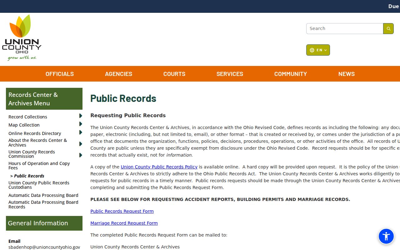
Use a parcel number, street, or date range in a focused request. That gives the custodian a record target and avoids asking the county to construct a list of people around a block.
Read Marysville Neighbor Parcel Layers
The county GIS layers add context to a selected parcel. The Address Layer identifies the address assigned by the Engineer’s Office. Dwelling Info can display parcel number, building grade, year built, building condition, and Auditor total market value. Sale Info can show the last sale date and amount for qualifying sales after 1995. It deliberately excludes sheriff deeds, gifts, transfers to a trust or LLC, and other exempt or non-arms-length transfers. Aerial options and transparency can compare two selected imagery years.
Floodway, floodplain, topography, soil, school-district, and measurement layers can explain the physical or jurisdictional setting. They do not identify occupants. Treat a selected owner name, a building feature, and a sale as separate record facts. The research did not confirm that Beacon’s printable report exposes both an owner mailing address and a situs address, so those labels should be checked on a live record before they are relied on.
Question: Can the parcel map prove who lives next door? No. It can support a land-record search for an owner of record. Household members, visitors, mail recipients, and other occupants are not established by the parcel view.
Map Marysville Blocks Through Plats
Plats and survey records explain why a block boundary on a map can be more useful than a row of nearby names. The Union County Recorder historical materials describe plats with an original deed holder, original property description, surveyor, approving authorities, streets, roads, alleys, subdivision of lots, and annexations. The County Engineer maintains GIS tax maps, historic paper tax maps, surveys, subdivision plats, Virginia Military Surveys, school-district mapping, and railroad maps. Those sources can hold the land pattern steady when a street label or parcel appearance has changed.
A legal description ties the visual block to a recorded instrument. It can include town or township, section or survey, lot, and addition or subdivision, then book and page context in the deed material. A street address is a useful search clue, but it is not always a deed-index key. Preserve the parcel number and legal description before moving from map to Recorder.
For a full named-street chain rather than the immediate block, the Marysville street directory follows the address, parcel, and deed trail in more depth.
Marysville Neighbors and Voter Limits
The Union County Voter Information Search cannot responsibly be used to build a block roster. The captured official screen requires Last Name and First Name and does not show a street-browse feature. Ohio Revised Code 3503.13 makes voter registration forms and the statewide database public records subject to specific exceptions. Those exceptions cover Social Security numbers, driver or state ID numbers, telephone numbers, email addresses, confidential voter registrations, qualifying redacted addresses, proof of citizenship, and other information barred by law.
There are useful historical routes, but they are not a present-neighbor tool. The Records Center holds Absentee Voter Registers from 1944 through 1996. They show applicant or elector name, address, city, ward, precinct, and ballot issue or return dates, arranged chronologically by election and then application. A researcher needs a probable election year and name. The records do not authorize anyone to infer ballot selections, current residency, or a contemporary block list.
Safe at Home participants have confidential voter registration records. A blank result, redacted address, or protected registration cannot be read as proof that a person has left Marysville.
Marysville Neighbor Community Sources
No official Marysville neighborhood-association, HOA, civic-council, or membership-directory page was located in the research. The City GIS and Open Data page is a map and reference-layer source, not a membership list. The limitation matters because a community organization may be part of a block’s history without publishing a public roster of current members. Rather than inventing associations or contacts, use the sources that are actually documented for map context and historical research.
| Marysville research contact | Documented material | Use for a block question |
|---|---|---|
| City GIS and Open Data | City-created street, address, water-pipe, hydrant, and other reference layers. | Orient a street and city geography before using county parcels. It is not a neighborhood membership directory. |
| Marysville Public Library | Early local directories, cemeteries, yearbooks, church records, photographs, and a probate-will index. | Historical name and place research, not current block rosters. |
| Union County Historical Society Research Library | County and township histories, church histories, school records, military material, newspapers, film, and lodge or civic-organization documents. | Supplementary historical context. The Society is open late May through mid November on Wednesdays and is closed in winter. |
The Marysville City Records capture shows the municipal request route for existing city records.
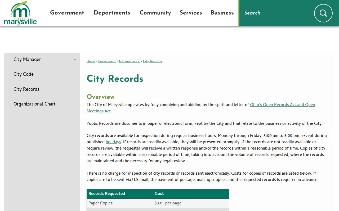
City Records Custodian requests can be made by email, phone, in person, or mail. The City says inspection and electronic delivery are free, while paper copies cost five cents per page. Identify a planning, engineering, council, or permitted public document instead of asking the City to identify a nearby resident.
Compare Marysville Neighbor Sources
Official records and commercial neighbor tools answer different questions. Official maps and recorded land records identify a parcel, an owner of record, legal land context, or a released government document. Commercial products are a category that may blend maps with older data, but their results can be stale, merged, incomplete, or wrong. The research does not endorse or link that category. For Marysville neighbors, the defensible route is map geometry followed by a specific official record, with no promise of a household census.
| Source type | Useful evidence | What it cannot establish |
|---|---|---|
| GIS parcel and Recorder records | Parcel location, owner of record, acreage, legal description, and recorded ownership sequence. | Every person who lives, receives mail, or spends time at the address. |
| City and county public-record route | An identified existing ordinance, permit, plan, or archive record released by its custodian. | A demand for a new block-by-block resident list or utility-customer information. |
| Commercial neighbor products | A starting lead that needs independent confirmation. | Reliable, complete, current block membership or official land-record proof. |
Note: When names look similar, compare parcel number, legal description, record date, and book or page context before treating two records as the same person or property.
Protect Marysville Neighbors and Privacy
Ohio Safe at Home is the primary official address-confidentiality program relevant to Marysville neighbors. Qualified survivors of domestic violence, human trafficking, rape or sexual battery, or menacing by stalking can use a substitute address for voter registration, government correspondence, and other official records. A certified participant may also use a real-property confidentiality notice at the Recorder. The program explains why a person may not appear at a usual street address even while nearby parcel and land records remain publicly visible.
Lawful use. Use Marysville neighbor records for personal, lawful research and property context. Do not use any result to stalk, harass, intimidate, or harm another person.
The Ohio Public Records Act image records the state access framework. Ohio Revised Code 149.43 applies to any person and provides for prompt inspection and copies at cost within a reasonable period, but it does not open sealed, confidential, protected, or otherwise exempt information.
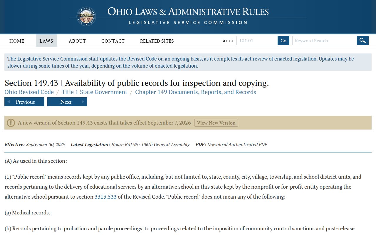
That access rule works best with a narrow request for an existing record. It does not change the voter exclusions, Safe at Home protection, or the confidential status of motor-vehicle information and private utility-customer data.
Marysville Neighbor Redaction Routes
Ohio Revised Code 149.45 governs covered personal-information redaction from internet records. It bars public offices from placing unredacted Social Security numbers online and lets an individual request redaction of certain covered personal information. Where practicable, the office must act within five business days. The request goes to the office that maintains or publishes the record, not to an unrelated custodian. This is a focused correction route, not a way to erase all lawful public records.
The Ohio internet-record redaction law is shown in the first redaction source capture.
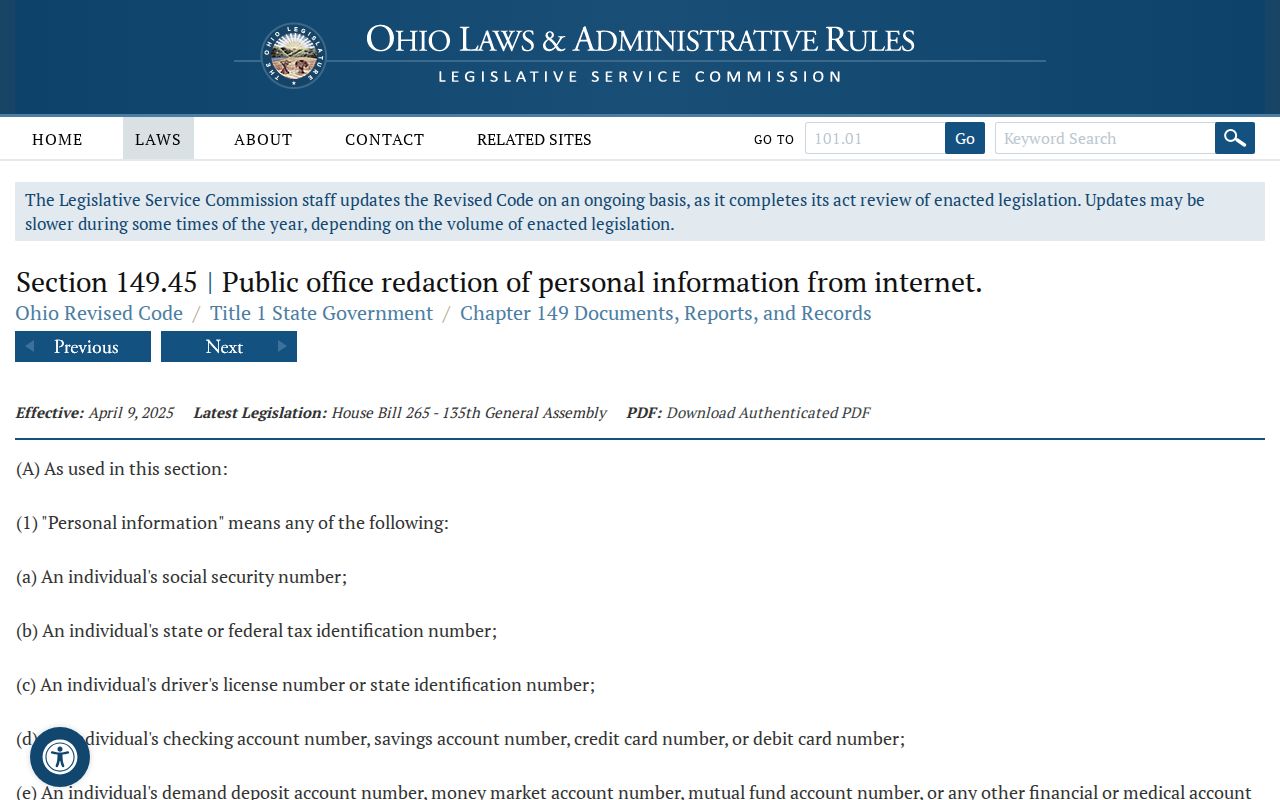
The Ohio Attorney General provides redaction-request forms, but the actual request belongs with the public office holding the record. The Attorney General does not decide another custodian’s record.
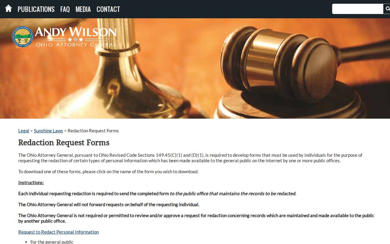
Keep the record URL, description, and any confirmation from the responsible office. That provides a clear, lawful path for correcting covered online information while preserving the limits that protect Marysville neighbors and other residents.